BEHOLD a truckload of amateur photos taken haphazardly point-and-shoot because I was driving. See gorgeous southern Colorado through smears of bug guts and windshield reflections!
I had to do it sometime before the end of the month. So, on Thursday, I set out to Colorado Springs to visit the Costco, and other places where food and provisioning is less expensive than it is in the remote San Luis Valley.
I was apprehensive about the journey. My Jeep Wrangler is not a long-distance vehicle by design, and I’m unaccustomed to taking it anywhere more than an hour’s drive away, if that. This trip is generally three hours—which I ended up turning into four hours, given my error of taking the US 285 northbound route out of Monte Vista to US 50.
 |
| Once past the semi-industrial potato processing plants and whatever they do at that big Coors Beer complex in Monte Vista, northbound US 285 gets its pastoral charm on. |
 |
| According to the Wikipedia page, the San Luis Valley is a freak of geology where there are standing bodies of water that don’t drain anywhere. They’re just...there. Which makes for great farming in a high valley which is a virtual desert for all the precipitation it doesn’t get. |
 |
| As flat as flat gets, with pointy hills and things in the distance. This is the San Luis Valley. |
 |
| US 285 is not only flat, but straight as a ruler for 35 miles between Monte Vista and Saguache (pronounced swosh, rhyming with “slosh”). This is an odd formation here that someone decided, “Nah, I like this flat. Let’s just blast through the middle of that thing.” |
 |
| I’m always impressed at how the construction crews get the rock walls so straight. |
 |
| The view on the other side, the mountains I need to cross in sight. The pass is somewhere over to the right. |
 |
| I wasn’t exaggerating. Thirty-five miles, flat as a pancake, straight as a ruler. |
 |
| The road rises oh-so gradually and then—trees! |
 |
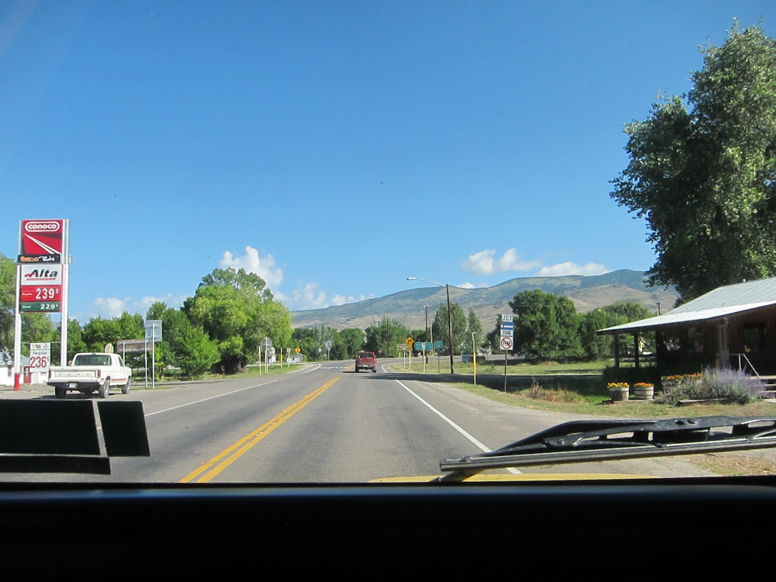
| Welcome to Saguache, Colorado, “Gateway to the San Luis Valley.” Despite the rise in terrain, the sign indicates Saguache is only 21 feet higher in elevation than Monte Vista. |
 |
| The road keeps rising beyond the sign, of course. |
 |
| At last, our straight-as-a-ruler highway bends sharply right/east as it commences its journey up the pass. |
 |
| We keep winding.... |
 |
| We keep rising.... |
 |
| At one point, we’re driving back south again as we hook around this flank of the Sangre de Cristo Mountains. |
 |
| I note the clouds building over the peaks. These will be someone else’s problem later. |
 |
| There’s not much to say, let alone photograph about Poncha Pass. It’s greener than most, with fewer switchbacks, and no scary drops on either side. The main event here is this intersection. Go straight through the light, and you’ll move into the real high country, like 10K feet elevation Leadville. I’m taking the right onto US 50 East into Salida. |
 |
| Making the turn. I noted that at this point I had driven roughly 75 miles. I should be just under halfway through my journey in terms of mileage. |
 |
| One mile to Salida, another hour to Cañon City, then CO 115 north to the Springs. How hard can this be? NEXT: Cotopaxi and the rest. |
No comments:
Post a Comment